Site plans and prices
Every plan is drawn on current Ordnance Survey mapping at a true scale, with your red line boundary, north arrow, scale bar and our OS licence number, and emailed as a PDF and PNG. Find your site, draw the boundary and see the price before you pay — no account needed.
What do you need the plan for?
Choose what it is for and the editor shows only what that application needs: the right wording on the plan and the checks to make before you buy.
Extensions, new buildings, change of use, listed building consent.
Confirming work is permitted development, or that an existing use is lawful.
A charge point on your house and a cable channel to your car, where planning permission is needed.
Transfer of part, a lease, a new boundary or a strip of land, to HM Land Registry’s plan rules.
The location and site plans a network operator asks for, with the meter and supply route marked.
Start with a standard location plan. You can change what it is for in the editor without losing your boundary.
Block plans
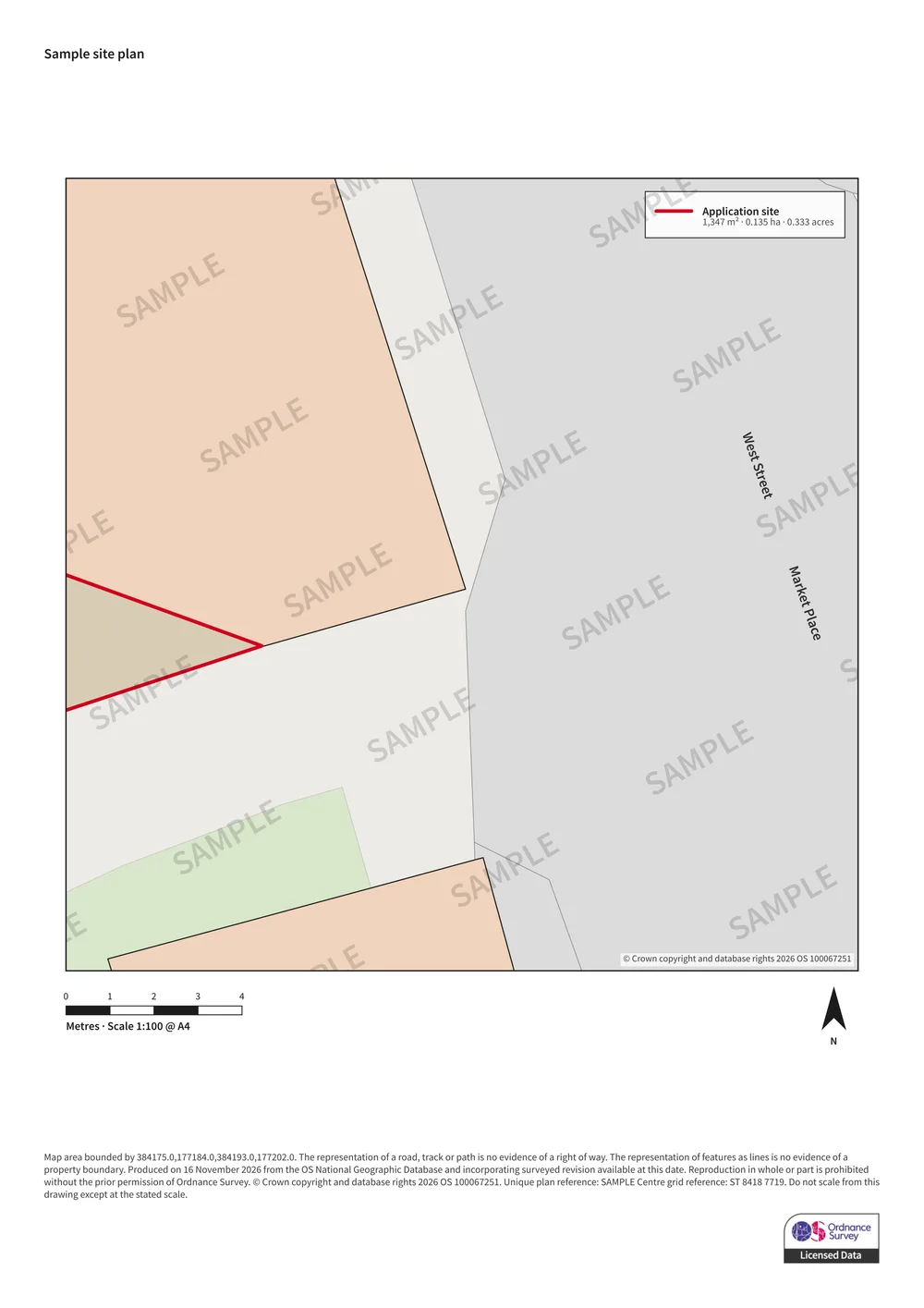
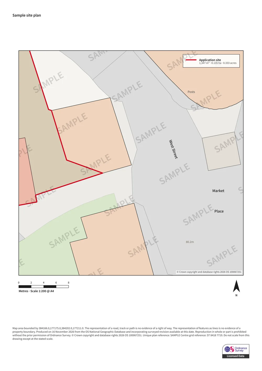
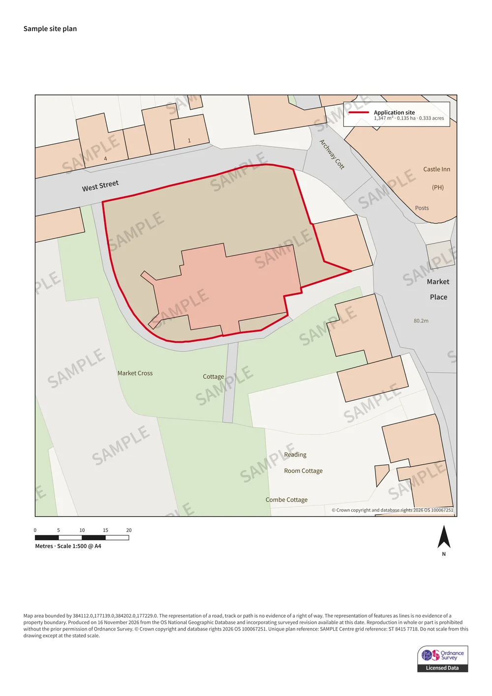
The close-up view of the site itself: buildings, plot boundaries, access and parking. Most councils ask for 1:500; small sites are sometimes drawn at 1:200 or 1:100.
Location plans
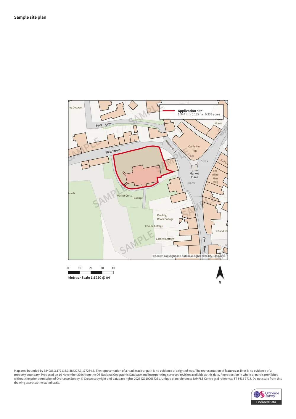
Your site among the surrounding roads and properties, so the council can identify it. Usually 1:1250, or 1:2500 for large and rural sites.
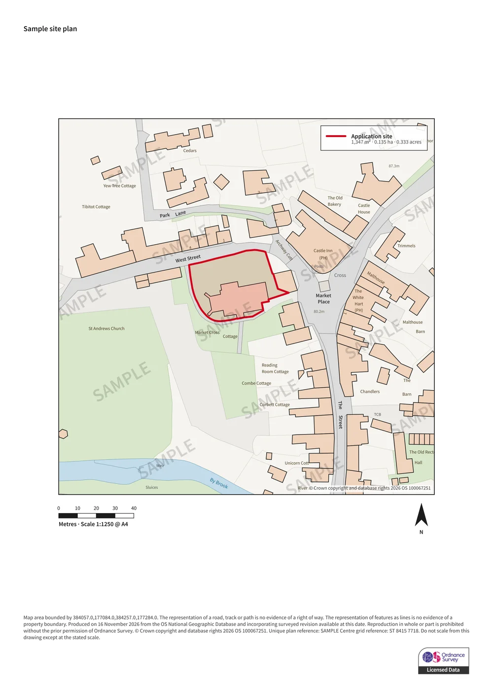
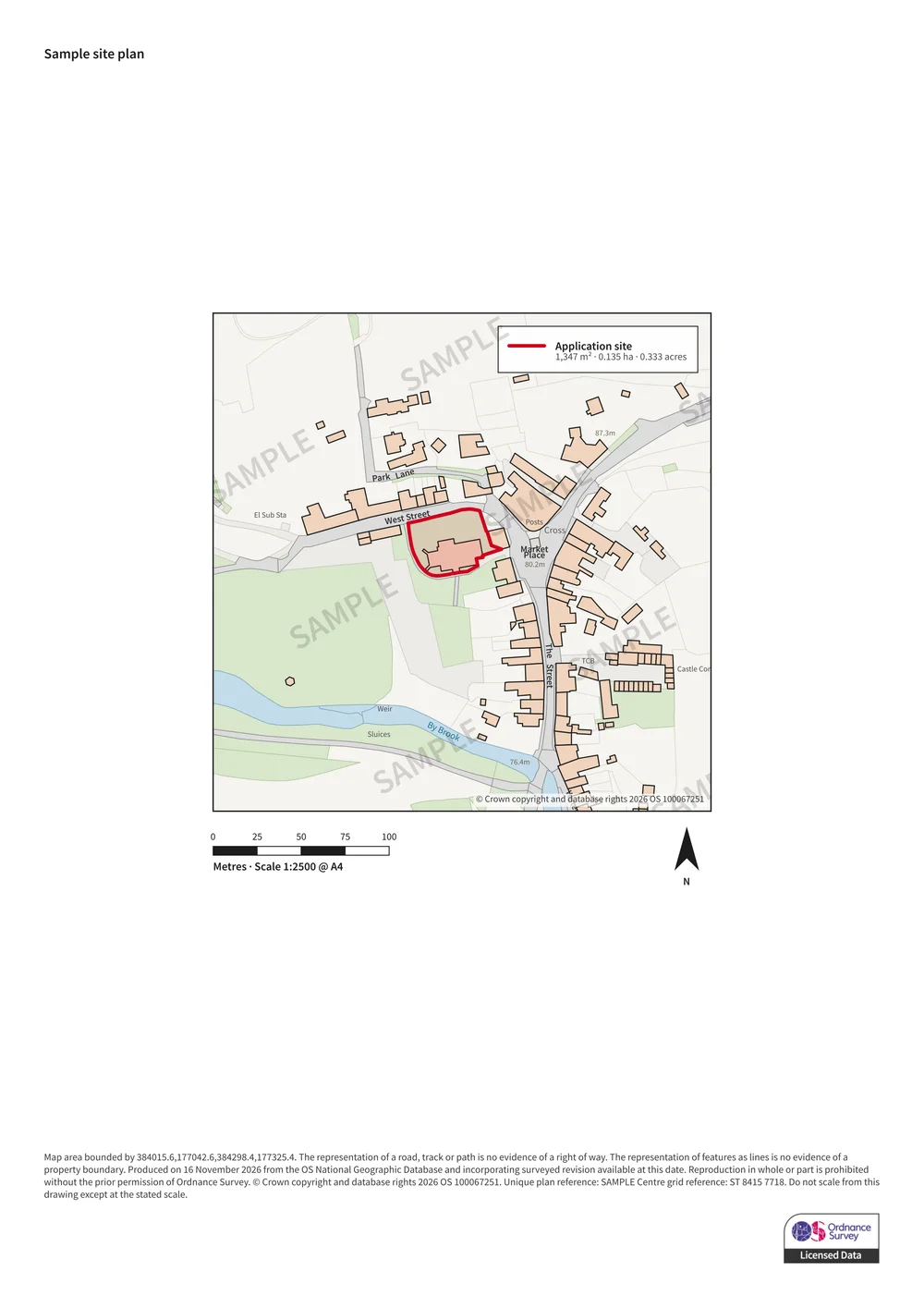
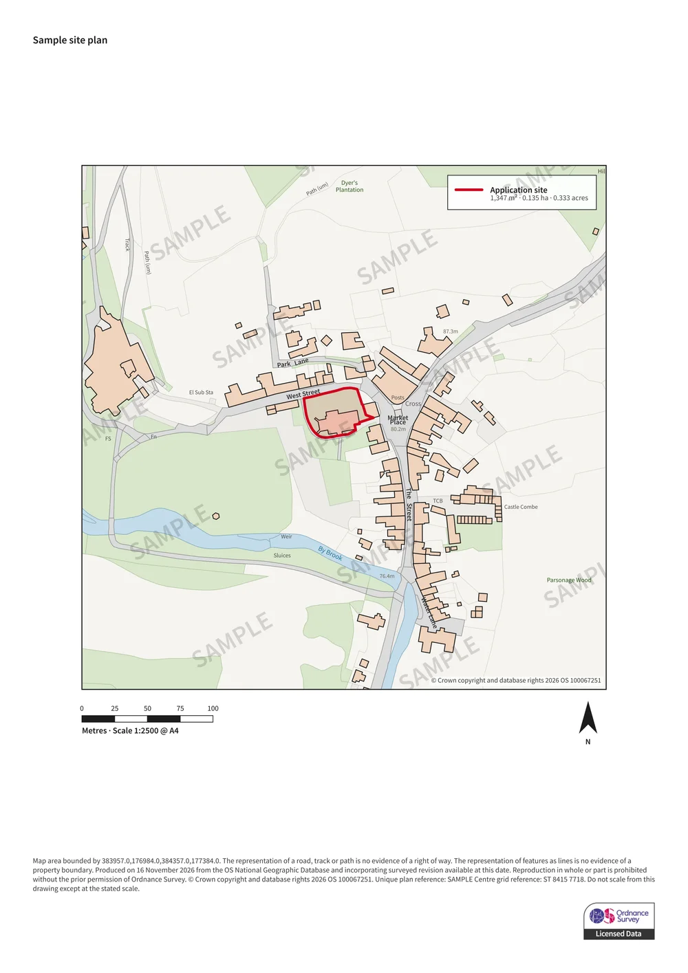
* General information only, not legal or planning advice. Planning rules change, and councils set their own validation requirements. Check with your local planning authority before you apply.