Certificate of lawfulness (lawful development certificate): which plans you need
A lawful development certificate, often called a certificate of lawfulness, is not planning permission. It is the council confirming, in writing, that something is already lawful, or would be. The application is shorter than a planning application, but it still needs a location plan with a red line, and it is turned away at validation for the same reasons.
Last reviewed 16 November 2026. General guidance for England, Scotland and Wales — your council’s own requirements take precedence.
What a lawful development certificate is
The formal names are a certificate of lawfulness of proposed use or development (CLOPUD) and a certificate of lawfulness of existing use or development (CLEUD). Most councils and the Planning Portal call both lawful development certificates; they are the same thing.
In England and Wales there are two kinds. A certificate for a proposed use or development asks the council to confirm that something you have not yet done would be lawful, most often because it falls within permitted development. A certificate for an existing use or development asks it to confirm that something already there is lawful, usually because it has been in place long enough to be immune from enforcement, or never needed permission.
Scotland has the same two certificates of lawfulness under its own legislation. The principles are similar, but the forms, fees and detailed rules are Scotland’s own.
A proposed certificate is the usual route for a householder who wants certainty before building an extension, loft conversion or outbuilding under permitted development. It is not compulsory, but buyers’ solicitors often ask for one when the house is later sold.
The plans an application is normally expected to include
The national requirements are short, and councils add to them in their own local validation lists. Typically you need:
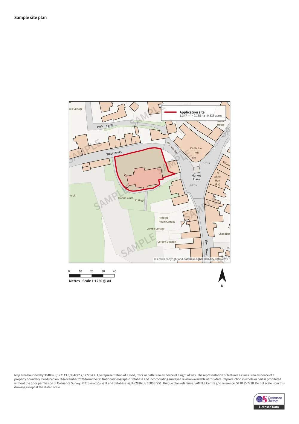
- A location plan, normally at 1:1250 or 1:2500, with the land the certificate relates to edged in red. Councils commonly ask for a north point and enough of the surroundings, often at least two named roads, to identify the site.
- A blue line around any other land you own or control nearby, where your council’s list asks for one.
- For a proposed certificate, drawings of what you intend to build, usually existing and proposed floor plans and elevations, so the council can check it against the permitted development limits.
- Many councils also ask for a block plan, commonly at 1:500 or 1:200, showing the proposal in relation to the boundaries and neighbouring buildings. Permitted development limits are often about distance from a boundary, which is exactly what a block plan shows.
Proposed or existing: choosing the right form
Use the proposed form only if work has not started. Councils treat a project that has begun, even if it is unfinished, as an existing use or development, and a proposed application for it is not valid.
An existing certificate rests on evidence rather than drawings. You show what was done and when: dated photographs, invoices, utility bills, statutory declarations from people who know the site, and dated maps or aerial images. The plans still have to identify the land precisely, because the certificate only covers what is inside the red line.
Where the red line goes
The red line encloses all the land the certificate relates to. For a householder proposal that is normally the house and its garden, because permitted development rights are measured across the whole curtilage. For an existing use it is the land where the use takes place, and no more: a certificate cannot confirm a use on land outside the line.
The same drawing conventions apply as for a planning application: a solid red line, a stated scale, and a scale bar so the plan can be checked once printed.
Common questions
Is a certificate of lawfulness the same as a lawful development certificate?
Yes. "Certificate of lawfulness" is the formal name in the legislation (CLOPUD for a proposed use or development, CLEUD for an existing one); "lawful development certificate" is the name most councils and the Planning Portal use. The application and the plans are the same.
Do I need a location plan for a lawful development certificate?
Yes. A location plan identifying the land, edged in red, is required for both proposed and existing certificates, and an application without one is not registered. Councils commonly expect it at 1:1250 or 1:2500 with a north point.
Is a lawful development certificate the same as planning permission?
No. Planning permission grants consent for something that needs it. A lawful development certificate confirms that something does not need permission, or is already immune from enforcement. It is a statement about lawfulness, not a consent.
Can I apply for a proposed certificate after I have started building?
No. Once work has begun, councils treat it as existing development, so you would need an existing certificate instead, which is decided on evidence of what has been done.
Does a lawful development certificate need a block plan?
It is not always a national requirement, but many councils’ local lists ask for one for a proposed certificate, commonly at 1:500 or 1:200. It is the clearest way to show distances to the boundaries, which permitted development limits depend on.
Need the plans themselves?
We draw location and block plans on current, licensed Ordnance Survey mapping at a true stated scale, with your red line boundary, north arrow, scale bar and our OS licence number. Draw the boundary yourself and see the price before you buy.
Create your plan