Site plans for a new electricity, gas or water connection
Before they will quote, network operators want to see where the site is and where the meter will go. Draw both plans on current Ordnance Survey mapping: the site edged red, the meter position and the route of the new supply.
Last reviewed 14 November 2026 against operators’ published application forms. Each operator’s own form takes precedence.
Draw my connection plans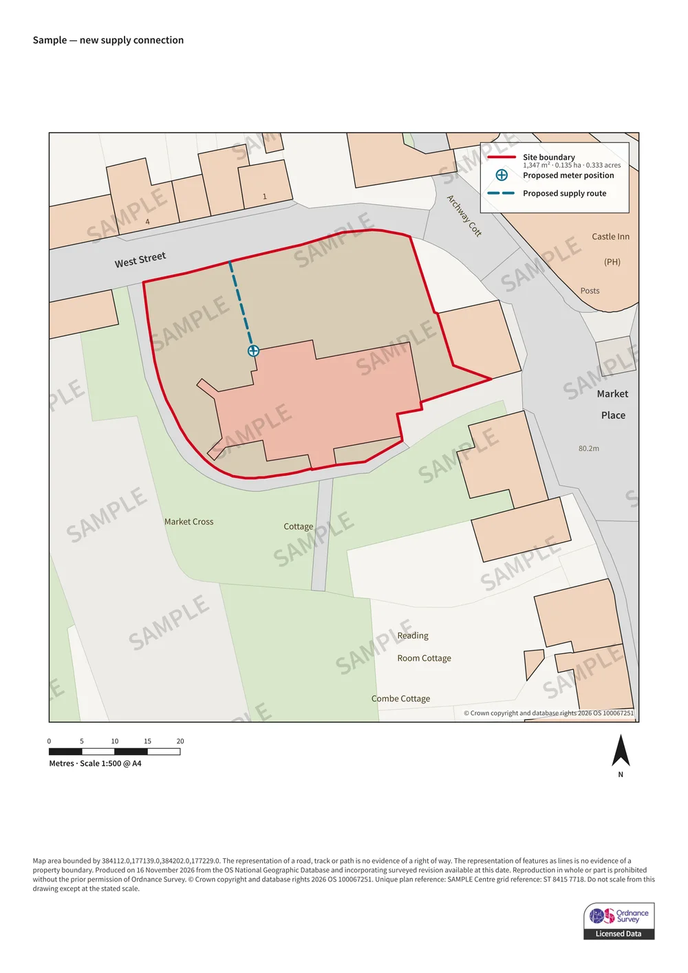
What operators ask for
The two plans
- A location plan at 1:1250 (or 1:2500 in the countryside) with the site edged red and the surrounding roads named.
- A site plan at 1:500 showing the building, the boundary and access, the meter position, and the route of the new cable or pipe if you know it.
Tap your house and the editor draws the plot; tap where the meter goes, then the route from the road. Both sheets come from the same drawing, so they always agree.
Questions
Do I need a plan for a new electricity, gas or water connection?
Usually, yes. Network operators use a location plan to find the site and a site plan to see the building, the access and where the meter should go. Without one, most will not quote.
What scale should the plans be?
Most accept a location plan at 1:1250 (1:2500 for rural sites) and a site plan at 1:500. Some state a preference on their form — check the operator’s own application page.
Do I have to draw the cable or pipe route?
Only if you know it or the operator asks. Marking the meter position matters more: the operator designs the route from the network to it.
Can I use my planning application plans?
Often, if they show the meter position. Our editor draws the same boundary, adds the meter and the supply route, and prints both sheets together.
What about a development of many homes?
New mains, multiple-plot schemes and self-lay need engineering layouts, usually in CAD, from your designer or engineer. These plans are for a single home or building, or a few.