Draw the boundary for your site plan
Making a plan for:Utility connection
Find the site
England, Scotland and Wales. Pick your postcode or street, then tap your house on the map. Northern Ireland is mapped separately by OSNI.
Plan
Usually needed for a utility connection
- Location plan 1:1250 — Shows where the site is. Some water companies prefer 1:2500 for rural sites.
- Block plan 1:500 — Shows the building, boundary and access, with the meter position and the route of the new supply.
Check your council’s list for the scales it wants.
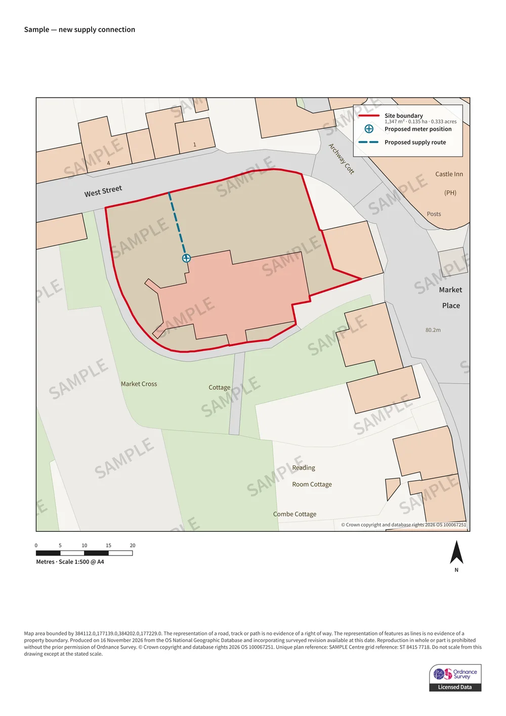
A sample of what you get. Search your postcode on the right to load your own site on current OS mapping.
£15.95
1:1250 · A4 · 2 ha