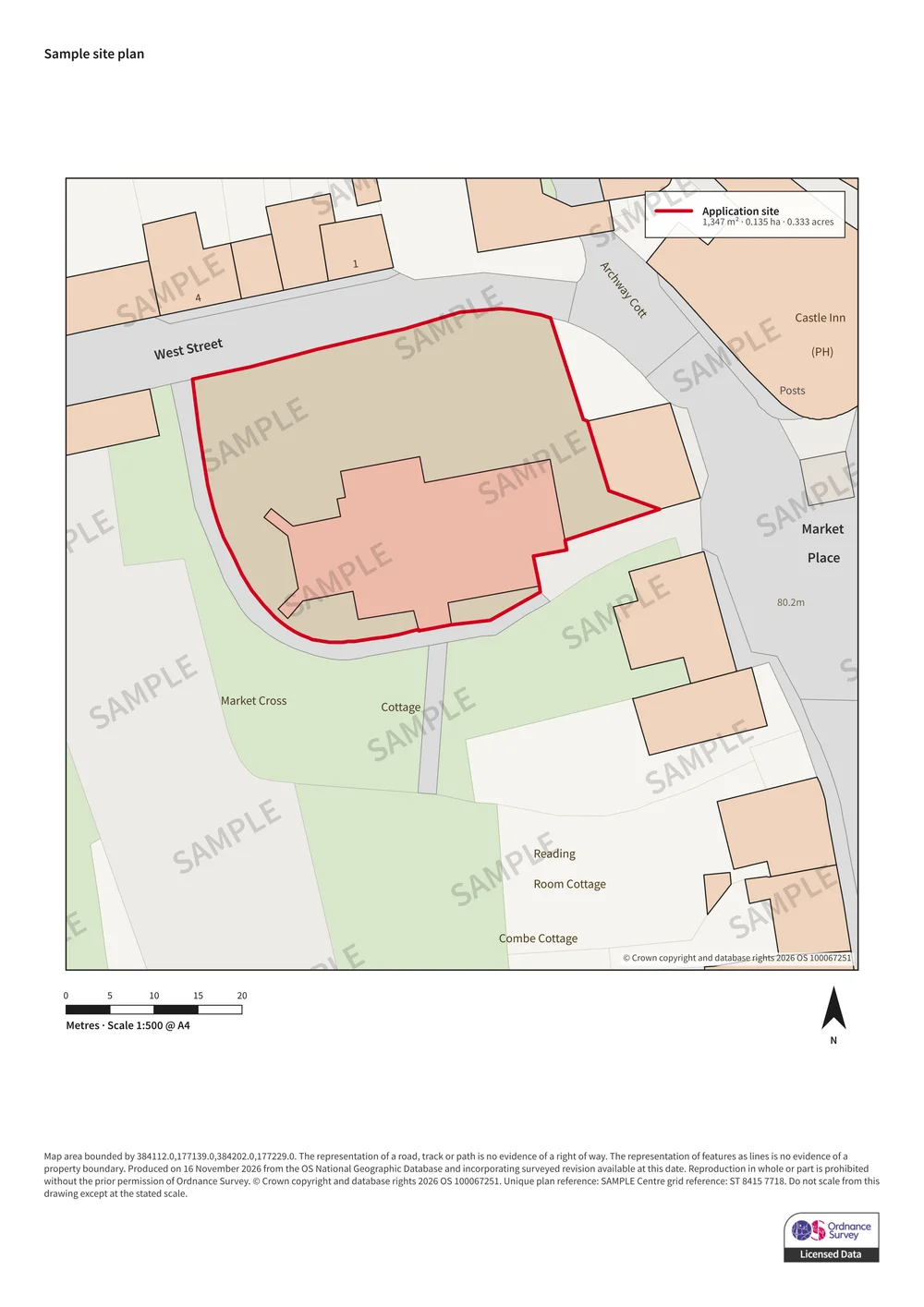
Sample plan. Yours is centred on your own site with the boundary you draw.
Ordnance Survey site plan
1:500 Block Plan (A4)
£11.50
For the site and its immediate neighbours, with access and parking — the standard block plan scale most councils ask for.
Scale
1:500
Paper
A4
Ground covered
90 × 90 m
Area
0.81 ha
England, Scotland and Wales. Emailed as a PDF and PNG once paid.
What you get
Current, surveyed Ordnance Survey mapping at a true stated scale
Your red line boundary, and a blue line for other land you own if needed
North arrow, metric scale bar, stated scale and paper size
Our Ordnance Survey licence number and a unique plan reference
Print-ready PDF plus a PNG image of the same plan, by email
Free boundary changes and re-downloads for 30 days
Not sure this is the right plan?
Most applications need both a location plan (usually 1:1250) and a block plan (usually 1:500). Your council’s validation checklist says which, and at what scale. Read what a block plan shows or plan scales explained.
* General information only, not legal or planning advice. Planning rules change, and councils set their own validation requirements. Check with your local planning authority before you apply.